
MRX Learning Center
Reeves County Mineral Records: A Source-by-Source Search Log
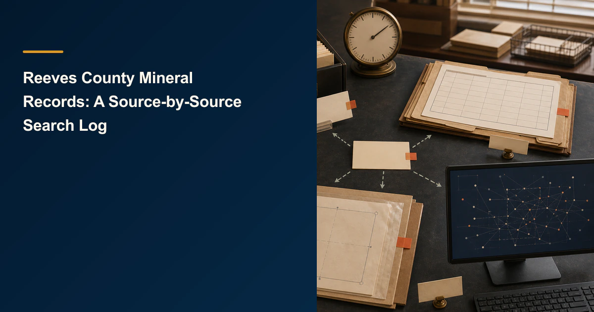
Keep Reeves County Clerk, CAD, GLO, and RRC observations in separate evidence rows with their own routes, timestamps, search fields, displayed references, bounded results, and next questions.
Direct answer for mineral owners
Create four independent search rows for the Reeves County Clerk property-record portal, Reeves CAD or tax search, Texas GLO land-grant context, and RRC oil-and-gas data. Record the route, timestamp and timezone, exact authorized field and value tested, displayed reference, evidence pointer, one bounded result label, and one next source-specific question. Never merge similarly named or numbered records into conclusions about ownership, title, property, lease, tax, acreage, value, or legal effect.
Key takeaways for mineral owners
- Start each row from the current official route and preserve the final destination actually reached.
- Use one source row for one source system; do not copy a result into another system as corroboration.
- Record only record located, no record displayed, route unavailable, or unverified.
- A county index result, appraisal observation, GLO record, or RRC feature does not by itself establish ownership or a property connection.
- Keep real names, account numbers, instrument references, screenshots, and other sensitive details in an authorized controlled record, not a public example.
Source-separated research boundary. This article explains how to document four Reeves County public-record searches without merging them. It does not determine mineral ownership, title, acreage, value, taxes owed, lease status, well ownership, property connection, legal effect, or whether to sell. It does not authenticate a person or record. Keep real names, account numbers, instrument references, screenshots, and private documents in an authorized controlled location. MRX provides educational information and resources only and does not buy mineral rights.
A Reeves County mineral records search log is useful only when each source stays in its own lane. The Reeves County Clerk property-record portal, Reeves appraisal or tax search, Texas General Land Office, and Railroad Commission of Texas do not answer the same question. A similar name, number, survey label, or location across them is not permission to merge the records.
The deliverable is four reproducible source rows. Each row preserves what was searched, where, when, which field and privacy-safe value were used, what reference the interface displayed, where the evidence is retained, which bounded result applies, and which narrow source-specific question remains.
Prepare one controlled reference before searching
Begin with one Reeves County reference from a record you are authorized to use. It may be a person or entity name variant, instrument number, account reference, survey or abstract label, lease or well identifier, or another field actually accepted by the selected official interface.
Do not publish the real input merely to demonstrate the worksheet. Give it a neutral working ID such as RC-SEARCH-01 in the public log and keep the source-entered input in a restricted crosswalk. Preserve spelling, punctuation, spacing, leading zeros, and any source label exactly. If the input changes, start a new attempt instead of silently editing the prior row.
One reference may not fit every source’s available fields. Record the field the interface actually offers. Do not force an instrument number into an owner-name box or rewrite a survey reference to make it resemble an account number. If the route cannot accept the controlled reference, the observation remains unverified rather than an invented search.
Use the Reeves County Clerk row for index leads
The current Reeves County Clerk Official Records Search identifies itself as the County of Reeves property-record route. Its current quick-search interface describes searches for grantor or grantee, subdivision, document type, or document number and offers recorded-date controls.
Record the exact final portal URL, access time and timezone, selected search scope, field, controlled value, date range if used, and the displayed instrument reference when one appears. Keep an authorized evidence pointer to the result page or retained observation.
Treat the output only as an index lead. Record located means the interface displayed a result matching the recorded search criterion closely enough to preserve for the next review. It does not mean the complete image was reviewed, the record concerns the intended tract, the instrument conveyed minerals, the named person is the same person, or the instrument has a particular legal effect.
Do not pay for an image, copy, certification, subscription, or cart item to complete this public workflow. If a later task genuinely requires a purchase, separate that decision from the search log.
Keep the appraisal or tax row separate
The Texas Comptroller Reeves County directory identifies the county’s current appraisal-district contact and website. The linked Reeves County property search currently presents search choices such as account number, owner name, owner address, and property location.
Record only the field and value actually tested, access timestamp, displayed account reference or property-type label when available, evidence pointer, bounded result, and next appraisal-source question. Do not import a County Clerk party, instrument number, or legal conclusion into the CAD row simply because a displayed owner or description looks familiar.
An appraisal or tax observation does not prove current mineral title, a royalty decimal, net mineral acres, a lease interest, an amount owed, or a market value. Keep any displayed appraisal or tax value out of a public example. Questions about appraisal records belong with the appraisal district; title and legal questions belong with qualified professionals reviewing the actual instruments.
Use the GLO row only for original land-grant context
The Texas General Land Office Mineral Rights FAQ explains that the GLO keeps original land-grant files, while later conveyance records are usually found in the county deed records kept by the county clerk. It also cautions that determining mineral ownership requires examination of the deeds and leases affecting the claim.
That division defines the GLO row. Record the GLO route, access timestamp, exact land-grant or survey field tested, displayed archival reference if any, controlled evidence pointer, result label, and next GLO-specific retrieval question.
Do not convert an original-grant reference, grantee name, abstract, survey label, or map observation into a present ownership conclusion. Do not carry a GLO name into the Clerk or CAD row as an identity match. No record displayed for one attempted GLO field does not rule out a different spelling, collection, index, or county record.
Use the RRC row only for regulator-hosted oil-and-gas data
The Railroad Commission Public GIS Viewer page describes a map route for oil, gas, and pipeline data and links current viewer guidance. Its records and map features serve a regulator-data role that is different from a county instrument index, appraisal account, or original land-grant file.
Record the RRC route, access time and timezone, selected tool or field, exact controlled value, displayed API, lease, survey, or feature reference when one appears, evidence pointer, result label, and one next RRC-specific question. Preserve any viewer limitation or route problem in the row.
An RRC result does not prove that the controlled person or entity owns a well, lease, royalty, or tract. A map feature does not resolve title, acreage, a payment decimal, lease status, or a property connection. Keep those questions outside the search log.
Apply four bounded result labels
Use the same labels across all four rows, but interpret each only within its source:
- Record located: the official route displayed a reference that met the documented search criterion closely enough to retain as a lead.
- No record displayed: that exact route, field, value, and timestamp produced no displayed result.
- Route unavailable: the official destination could not be reached or completed during the recorded attempt.
- Unverified: source identity, input, interface behavior, retained evidence, or result meaning was insufficient to support another label.
No record displayed never means no record exists. Record located never means same property, same person, owned, valid, active, taxable, payable, or valuable. The label belongs to one source row and one search attempt.
Blank four-source search log
| Source row | Official route | Accessed at | Exact controlled field and value | Displayed reference | Evidence pointer | Bounded result | Next source-specific question |
|---|---|---|---|---|---|---|---|
| County Clerk | |||||||
| Reeves CAD or tax | |||||||
| Texas GLO | |||||||
| Texas RRC |
Keep the published template blank. A real controlled log may preserve full recorded inputs and retained captures only when access controls and the authorized purpose permit them. Do not put names, addresses, account numbers, instrument numbers, signatures, tax amounts, legal descriptions, or screenshots into a public example.
Close each row without merging the sources
A source row is complete when another authorized reviewer can reproduce the route, timestamp, field, value, displayed reference, evidence pointer, bounded result, and next question. The four rows do not need to agree. Differences are expected because the systems have different custodians, fields, dates, and purposes.
Finish by checking that no sentence turns the combined rows into conclusions about ownership, title, tax, lease, acreage, value, property connection, or legal effect. The search log organizes leads and limitations. Qualified title, legal, land, appraisal, tax, engineering, and valuation review remain separate jobs.
Sources reviewed for this article
- Reeves County Clerk, Official Records Search
- Reeves County Appraisal District, Property Search
- Texas Comptroller, Reeves County Directory
- Texas General Land Office, Mineral Rights FAQ
- Railroad Commission of Texas, Public GIS Viewer
Frequently asked questions
Does a Reeves County Clerk search result prove mineral ownership?
No. It is an index lead tied to the selected search field and timestamp. The complete instrument, earlier and later records, legal description, chain, and owner-specific legal effect require separate qualified review.
Is a Reeves CAD mineral account the same as a deed record?
No. The appraisal or tax route and the County Clerk record system serve different purposes. Similar names, descriptions, or identifiers must remain separate observations unless qualified evidence resolves the relationship.
Can an RRC map feature prove that I own a well or lease interest?
No. RRC-hosted oil-and-gas data can identify regulator records and map features within their source scope. It does not establish a private owner, title, decimal, acreage, lease status, or payment right.
What does no record displayed mean?
It means only that the recorded interface did not display a result for that exact field, value, route, and timestamp. It does not mean no record or interest exists.
Should I buy a document to complete this public template?
No. The public workflow stops before a paid document, certified copy, subscription, or image purchase. Record the available index lead and route any purchase decision through a separately authorized process.
Sources reviewed for this article
- Reeves County Clerk, Official Records Search (accessed 2026-08-26)
- Reeves County Appraisal District, Property Search (accessed 2026-08-26)
- Texas Comptroller, Reeves County Directory (accessed 2026-08-26)
- Texas General Land Office, Mineral Rights FAQ (accessed 2026-08-26)
- Railroad Commission of Texas, Public GIS Viewer (accessed 2026-08-26)
Related mineral-rights articles
Texas RRC Public GIS Viewer Layer-State Retrieval Provenance Worksheet
Preserve one manual Texas RRC Public GIS Viewer session: route, displayed version, exact selector, visible layers, basemap, scale context, controlled capture, limitations, and bounded outcome.
Read the post →
How to Build an Andrews County Mineral Rights Public-Record Locator
An Andrews County public-record locator preserves the exact office or system, access route, search field, displayed identifier, access date, source limitation, and next request without turning a search result into proof.
Read the post →
How to Build a Robertson County Mineral Rights Public-Record Locator
A Robertson County public-record locator keeps county, land-grant, and oil-and-gas search leads source-linked without treating them as title or value proof.
Read the post →
Understanding Mineral Rights for New Owners
A new mineral owner needs a controlled record before a conclusion: identify the possible interest, preserve source documents, connect operational evidence, and label what remains unknown.
Read the post →A practical next step
Put your mineral rights in context.
Every mineral interest, royalty history, and written offer is different. Start with a question, or share what you have for a free underwriter review.
- Free
- Confidential
- No obligation to sell
Ready for a closer look?
Review Related Records GuidesGet a directional range with the assumptions clearly stated.
