
MRX Learning Center
How to Build a Robertson County Mineral Rights Public-Record Locator
A Robertson County public-record locator keeps county, land-grant, and oil-and-gas search leads source-linked without treating them as title or value proof.
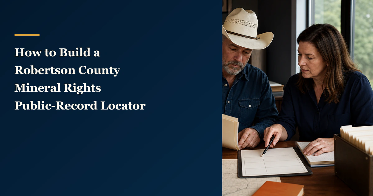
Direct answer for mineral owners
Create one row for each official system you search and preserve only the source, exact search field, displayed result identifier, access date, and source limitation. Label the result lead located, no result located, or needs professional review. The locator organizes research leads; it does not establish title, ownership, acreage, lease meaning, value, or whether to transact.
Key takeaways for mineral owners
- Keep Robertson County clerk, Texas General Land Office, and Railroad Commission searches in separate source rows.
- Record the exact search field and displayed identifier instead of silently transferring a public result into a private document.
- Use only lead located, no result located, or needs professional review as locator outcomes.
- A search result is a research lead, not proof of title, ownership, acreage, legal effect, mineral value, or offer quality.
Public-record research boundary. This article provides a way to organize Robertson County record-search leads. It does not establish title, ownership, authority, net mineral acres, royalty decimals, legal-description sufficiency, lease or deed meaning, recordability, value, production potential, payment rights, offer quality, or whether to transact. Online systems can be incomplete, delayed, approximate, or limited by the fields searched. Use qualified legal, title, land, tax, accounting, appraisal, engineering, and financial professionals for owner-specific conclusions. MRX provides educational information and resources only and does not buy mineral rights.
A Robertson County mineral rights public-record locator is a one-page research index. It keeps each official source separate and records five items only: source system, search field used, result identifier as displayed, access date, and stated limitation.
Use just three outcome labels: lead located, no result located, or needs professional review. None is a title, ownership, acreage, value, or transaction conclusion. The locator’s job is to make the next research step reproducible; it does not fill gaps in a deed, royalty statement, offer, or family file.
Start with the reference already in your file
Choose one Robertson County reference from a document you already possess. It might be a recorded instrument number, volume and page, survey or abstract, original grantee, operator, lease or well name, API number, field, or another identifier printed on a record.
Transcribe the reference exactly. Preserve punctuation, leading zeros, initials, suffixes, and abbreviations. Record which document and page supplied it, but do not make the public-record locator another document-package index. The locator links one retained reference to the exact official search you performed.
If the document says only “Robertson County” and supplies no narrower field, write needs professional review. Do not guess a survey, operator, legal description, or family name merely to make a search return a result.
Create the five-column locator
Create one row per official system and use these columns:
| Column | What to preserve |
|---|---|
| Source system | The official agency or county page and its URL |
| Search field used | The exact field, spelling, filter, or identifier submitted |
| Result identifier as displayed | The identifier shown by that system, copied without reinterpretation |
| Access date | The date you ran the search and, when useful, the source’s update frequency |
| Stated limitation | The source’s own limitation plus any unresolved scope question |
Keep a result in its own row even when it appears to resemble information from another system. A Railroad Commission lease ID, a General Land Office abstract number, and a county clerk instrument reference serve different record systems. Similar names do not make those identifiers interchangeable.
Use the Robertson County Clerk as the county-record starting point
The official Robertson County Clerk page identifies the current clerk office and links to Texas Land Records for land-record searches. Start from the county page rather than an unverified search result or advertisement so the destination remains tied to the county’s current instructions.
Record the field you used, such as grantor, grantee, instrument number, recording date range, document type, volume and page, or another field the current interface actually offers. Save the displayed instrument reference as a lead. Do not describe an index hit as the complete instrument, a valid conveyance, or proof that the named person still owns the interest.
Texas Property Code Chapter 12 provides the statutory recording framework. It does not tell this article what a particular Robertson County instrument means or whether it affects an owner’s minerals. Retrieve the complete instrument and use qualified counsel or land professionals for owner-specific legal conclusions.
Keep land-grant identifiers in a separate row
The Texas General Land Office Land Grant Database offers fields including county, abstract number, original grantee, patentee, file number, certificate, patent information, and survey/block/township.
Use the narrowest field already supported by your retained record. If a result appears, copy the displayed land-grant identifier and preserve the search field and access date. A land-grant archive result can help locate historical material; it does not establish the present chain of title, identify every severance or reservation, or prove that a private document covers the same interest.
When several results share a name, do not select the one that merely looks most plausible. Mark needs professional review and preserve the competing identifiers so a land professional can distinguish them using complete property and survey evidence.
Build a Railroad Commission lookup row
The Railroad Commission of Texas research-query directory links to production, permit, well, imaged-record, organization, and GIS systems. The Commission states that its online data sets are informational, continually updated, and not authoritative public records with legal force.
The Commission’s Oil and Gas Well Records page lists useful request fields: county, approximate drilling date, lease or well name and number, operator, field and reservoir, Commission identifiers, and location details such as survey, abstract, section, or block.
Use only the field already supported by your source file. For example, if a royalty statement supplies an operator and lease number, preserve that exact pair as the search field. Copy the API number, lease ID, gas ID, permit number, or record link exactly as displayed. Do not convert a regulatory identifier into proof of private ownership, a correct royalty decimal, or entitlement to payment.
Treat the GIS Viewer as a locator, not a survey
The RRC Public GIS Viewer can search and display oil, gas, pipeline, survey, and lease information. The Commission warns that the data may not be suitable for legal, engineering, or surveying purposes, may show only approximate relative property boundaries, and has no legal force or effect.
That limitation belongs in the locator row. A map can help you record an API number, lease identifier, survey name, or nearby reference for follow-up. It cannot prove an on-the-ground boundary, legal description, tract identity, title, acreage, or whether two documents describe the same property.
Do not trace the map into a deed or offer. Do not use distance from a mapped well as a value conclusion. If the GIS result and a private document appear inconsistent, preserve both references and mark needs professional review.
Apply the three outcome labels consistently
Lead located
Use lead located when the selected official system returns a result tied to the exact field you entered. Preserve the result identifier and limitation. This label means only that the search produced a reproducible lead.
No result located
Use no result located when the exact search returns nothing usable. Preserve the spelling, filters, date range, source URL, and access date. An empty result does not prove that no record, well, lease, mineral interest, or ownership history exists. The record may use another name, date, identifier, index, medium, or office.
Needs professional review
Use needs professional review when results conflict, several records appear plausible, a legal description is incomplete, an identifier crosses systems without a confirmed match, or the next step requires interpreting a deed, lease, probate record, survey, title chain, or other owner-specific evidence.
This label is not a negative finding. It prevents an unresolved lead from silently becoming a fact.
Keep public and private evidence separated
The locator may point to a record stored in your document package, but it should not duplicate that package. Use a stable locator-row ID and link it to the retained file. Keep the public source capture, private document, and any professional conclusion as separate evidence objects.
Do not overwrite a private-document field with a value copied from an online system. If a deed shows one abstract and a GIS result shows another, preserve both exactly and record the discrepancy. The separate property-scope crosswalk can compare what two documents state, while a qualified professional determines the legal or surveying significance.
For broader county-production context, use the separate Texas oil and gas production by county guide. This locator does not interpret Robertson County production, geology, development activity, or market conditions.
Example with fictional identifiers
Assume a fictional family file contains a Robertson County abstract reference and an old operator-and-lease pair. The GLO database returns one land-grant result for the exact abstract. The RRC well-record search returns two lease records under similar operator names. The county land-record search returns no result under the surname and date range entered.
The locator can record:
- lead located for the GLO row, with the displayed identifier and the limitation that it is a historical archive lead;
- needs professional review for the RRC row, preserving both result identifiers without choosing one; and
- no result located for the county row, preserving the exact spelling, date filter, and access date.
It cannot conclude that the family owns the land-grant interest, that either RRC lease pays the family, or that no county instrument exists. It also cannot estimate value or recommend whether to sell.
Robertson County locator quality controls
Before treating the locator as ready for follow-up, confirm that:
- every row names an official source and URL;
- the exact search field and spelling are preserved;
- result identifiers are copied as displayed and kept source-specific;
- each row has an access date and source limitation;
- only lead located, no result located, or needs professional review is used;
- no empty search is treated as proof that no record exists;
- no map is described as a legal boundary or survey;
- no public result is copied into a private document as an established fact; and
- the locator makes no title, ownership, acreage, lease, value, production, offer, or transaction conclusion.
A strong Robertson County mineral rights public-record locator is deliberately modest. It tells the next reviewer which source was searched, exactly what was entered, what identifier appeared, when the search ran, and why the result remains limited. That traceable record can reduce repeated searching while keeping owner-specific conclusions with the appropriate complete evidence and qualified professionals.
Frequently asked questions
Can Robertson County public records prove that I own mineral rights?
No. The locator can preserve a deed-index, land-grant, well-record, or map lead, but it does not establish the current chain of title, the legal effect of an instrument, ownership, authority, or net mineral acres. Those conclusions may require complete records and qualified land or legal review.
Does a Railroad Commission well or lease result prove my royalty interest?
No. Railroad Commission systems provide regulatory oil-and-gas information and expressly limit the legal and surveying use of online data. A result does not establish private title, a payee decimal, lease interpretation, royalty entitlement, or payment accuracy.
What should I enter when a search returns nothing?
Use no result located, preserve the exact source, search field, spelling, filter, and access date, and note any known variation that still needs review. Do not convert an empty online result into a conclusion that no record or interest exists.
Can I copy a public-record identifier into a deed, offer, or assessment as a fact?
Not without confirming that it describes the same property and record context. Keep the identifier in the locator as a source-linked lead. A qualified professional can determine whether and how it relates to a private document or owner-specific conclusion.
Does this locator estimate Robertson County mineral-rights value?
No. It does not analyze production, geology, market conditions, royalty income, offers, valuation methods, or price. It only organizes public-record research leads and their limitations.
Sources reviewed for this article
- Railroad Commission of Texas, Online Research Queries (accessed 2026-08-22)
- Railroad Commission of Texas, Oil and Gas Well Records (accessed 2026-08-22)
- Railroad Commission of Texas, Public GIS Viewer (accessed 2026-08-22)
- Texas General Land Office, Land Grant Database (accessed 2026-08-22)
- Robertson County, County Clerk (accessed 2026-08-22)
- Texas Property Code, Chapter 12, Recording of Instruments (accessed 2026-08-22)
Related mineral-rights articles
Texas Oil and Gas Production by County: An Owner Primer
Texas oil and gas production by county is reported publicly by the RRC and EIA. Learn what those records show, what they do not, and how an owner can use them.
Read the post →
Texas Railroad Commission: Public Records for Mineral Rights
Use RRC records to research production, leases, operators, and permits. Investigate title separately through county instruments and qualified review.
Read the post →
How to Build a Property-Scope Crosswalk Before Comparing Mineral Rights Offers
A property-scope crosswalk puts the tract and interest descriptions from separate mineral-rights documents side by side before anyone compares price or terms.
Read the post →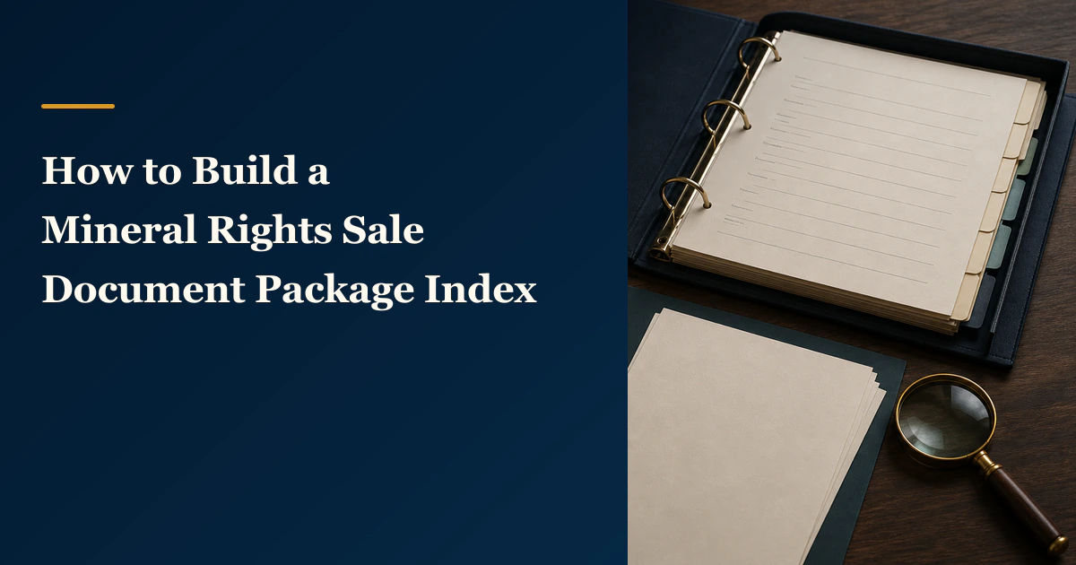
How to Build a Mineral Rights Sale Document Package Index
A mineral-rights sale document package index reconciles every source file, page, exhibit, schedule, addendum, signature copy, and replacement without interpreting the documents.
Read the post →A practical next step
Put your mineral rights in context.
Every mineral interest, royalty history, and written offer is different. Start with a question, or share what you have for a free underwriter review.
- Free
- Confidential
- No obligation to sell
Ready for a closer look?
Request an Underwriter ReviewGet a directional range with the assumptions clearly stated.
