
MRX Learning Center
Midland vs. Delaware Basin Mineral Rights
Midland and Delaware are both Permian Basin sub-basins, but owners should compare formations, well results, operator activity, and tract records before treating them as interchangeable.
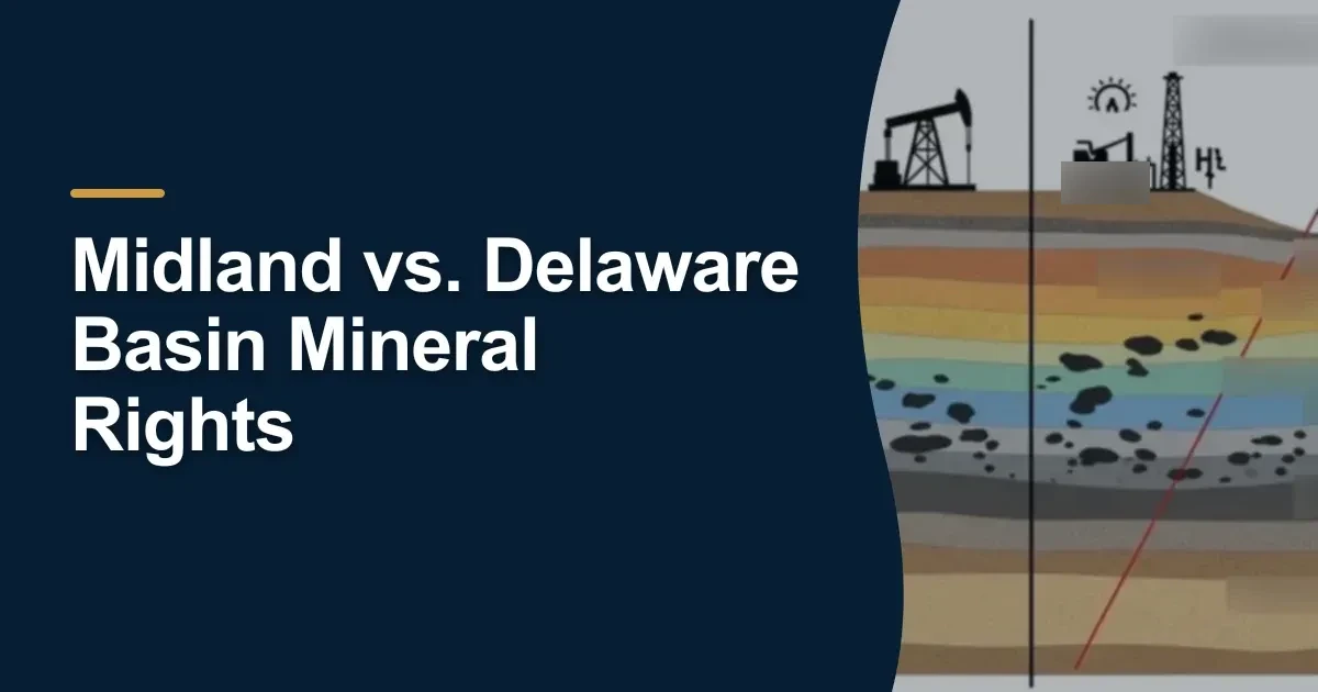
Direct answer for mineral owners
Midland and Delaware are distinct Permian sub-basins with different formation mixes, development patterns, and well histories. Basin names help organize research, but owners still need tract-level production, lease, and ownership records before drawing value conclusions.
Key takeaways for mineral owners
- Midland and Delaware are not interchangeable labels; each sub-basin can involve different formations, well spacing, and operator activity.
- The USGS Permian assessment and the BEG Permian Basin synthesis are stronger sources for basin geology than generic landing pages.
- A basin label does not prove ownership, royalty fraction, or projected revenue on a specific tract.
- Owners should match sub-basin discussions to RRC well, permit, and production records for the actual leases affecting their property.
- A value review uses basin context only after the tract-level records are in place.
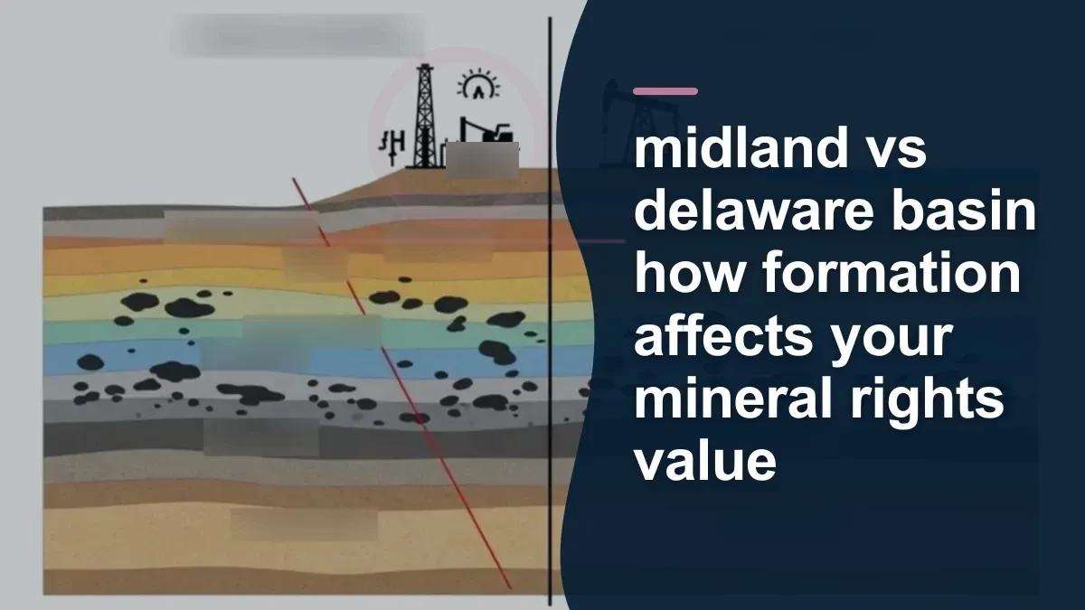
Why Midland and Delaware are useful labels but incomplete answers
Owners often hear that acreage is “in the Midland” or “in the Delaware” as though that ends the conversation. It does not. Those labels are useful because they point toward different parts of the Permian system, but they do not settle what formations affect the tract, which wells are producing, what the lease allows, or what cash flow the records actually support.
A basin label helps start the file. It does not finish it.
What the Midland and Delaware basins have in common
Both the Midland Basin and the Delaware Basin sit within the broader Permian Basin. Both are tied to stacked formations and heavy drilling history. Both can be associated with meaningful oil and gas development. And both appear in public geology and production sources that owners can review.
That shared Permian identity is why buyers and reviewers mention them so often. It gives a rough regional frame for the records that follow.
Where the comparison becomes more specific
The comparison starts to matter when the owner asks tract-level questions:
- Which formations are actually relevant to the acreage?
- Which wells or leases are tied to the interest?
- Has the operator developed the area aggressively, selectively, or not at all?
- Are the wells vertical, directional, or horizontal?
- Does the existing production history support a producing-interest review, or is the property still mostly an undeveloped-position question?
Those are not basin-label questions alone. They are record-comparison questions.
What official sources help frame the basin discussion
For geology, the cited USGS Permian Basin Wolfcamp and Bone Spring assessment and the BEG Permian Basin synthesis are stronger references than generic landing pages because they identify the formations and development context directly.
For current activity, the RRC production pages and research queries help connect that basin background to actual wells, lease names, operators, and reporting periods in Texas.
Together, those sources let an owner move from “I’ve been told this is Midland Basin acreage” to “these are the wells, leases, and formations affecting my tract.”
Why sub-basin identity can matter in a review
Sub-basin identity can change the research emphasis in a few practical ways.
Formation focus
The owner may need to know whether a tract discussion is really about a Wolfcamp interval, a Bone Spring interval, a Spraberry interval, or another formation context described in the public geology sources.
Well-development pattern
Different parts of the Permian can show different well density, spacing, and operator behavior over time. That matters when comparing two interests that both sound “Permian” on the surface.
Tract context
One tract may already have meaningful production history while another may depend more on development expectations and adjacent activity. The review path is different even if both are in the broader Permian system.
What the basin comparison does not tell you
A Midland-versus-Delaware comparison does not identify ownership. It does not state the royalty fraction in the lease. It does not confirm the decimal on the division order. It does not by itself prove value, drilling timing, or future revenue.
Owners should be cautious when a sub-basin label is used as a shortcut for all of those questions. The tract still needs to be tied back to the actual documents.
The owner file that makes the comparison meaningful
A useful file for this comparison usually includes:
- the county and tract description,
- the lease and any amendments,
- county ownership records,
- the operator name,
- RRC production for the relevant leases,
- RRC permit, completion, or well records for nearby development, and
- the public geology sources used for basin context.
With those records together, an owner can see whether “Midland” or “Delaware” is being used accurately and whether the label is connected to actual wells and actual documents.
Why two Permian offers can still look very different
Two buyers can discuss “Permian acreage” and still reach very different conclusions if they are working from different assumptions about production history, undeveloped locations, operator plans, or ownership certainty.
That is why a basin comparison should usually lead into a records comparison. The broader location may explain why an acreage position is interesting, but the lease, production, and title file explain what is actually being evaluated.
A more useful owner question
Instead of asking only “Is this Midland or Delaware?” a stronger question is: “Which formations, leases, and wells are you using when you describe my property as Midland or Delaware, and which public records support that characterization?”
That question forces the basin label back onto evidence.
Owners who want the bigger framework can also compare this topic to how mineral rights are valued, where basin context is only one part of a broader directional review.
If you want help assembling the tract, lease, and Permian production records behind that comparison, book an underwriter conversation so the file can start with the exact property rather than a generic basin label.
Frequently asked questions
Are Midland and Delaware both part of the Permian Basin?
Yes. They are both Permian sub-basins, but they are not identical in formation mix, development history, or how wells are distributed across acreage.
Does being in one sub-basin guarantee a higher value than the other?
No. Value depends on the specific tract, wells, lease terms, ownership records, and dated assumptions, not the basin name by itself.
What public records should I check first?
Start with the lease and county ownership records, then match the tract to RRC production, well, permit, and completion records for the relevant leases or wells.
Why do buyers mention sub-basin identity so often?
Sub-basin identity can shape expectations about formations, operators, and well economics, but it is only a framework for research. The tract records still decide the specifics.
How can I verify which sub-basin is relevant to my tract?
Start with the county, survey, abstract, or block in the legal description, then compare that location with the cited geology sources and the RRC well and lease records tied to the tract. Do not rely on a mailing address or a generic Permian label.
Sources reviewed for this article
- U.S. Geological Survey: Permian Basin Wolfcamp and Bone Spring Assessment (Fact Sheet 2018-3073)
- Bureau of Economic Geology (UT Austin): Permian Basin Synthesis
- Railroad Commission of Texas: Oil and Gas Production Data
- Railroad Commission of Texas: Research Queries
- MRX Methodology: How We Value Mineral Rights
Related mineral-rights articles

Oil Prices and Texas Mineral Rights Value
Oil prices can change royalty revenue quickly, but owners still need production, lease, and ownership records before drawing value conclusions.
Read the post →
Texas Mineral Rights: Producing vs. Non-Producing
Producing interests can be reviewed from payment and production history, while non-producing interests usually depend more on acreage, location, lease terms, and development uncertainty.
Read the post →
Natural Gas vs. Oil Mineral Rights in Texas
Oil and gas interests can behave differently on a statement and in a review because products, pricing, decline patterns, and deductions are not always the same.
Read the post →
Texas RRC EDMS Injection/Disposal Permit Document Retrieval Provenance Worksheet
Use an EDMS retrieval provenance worksheet to preserve one manual permit-document search route, exact labels, displayed state, evidence reference, source coverage, and bounded outcome.
Read the post →A practical next step
Put your mineral rights in context.
Every mineral interest, royalty history, and written offer is different. Start with a question, or share what you have for a free underwriter review.
- Free
- Confidential
- No obligation to sell
Ready for a closer look?
Review My Permian Basin RecordsGet a directional range with the assumptions clearly stated.
